Thinking Geographically
The geographer's toolkit: how maps represent the world, where geographic data comes from, and the spatial concepts and scales of analysis used in every later unit.
- Types of maps & projections
- Geographic data & GIS
- Location, place, distance
- Time-space compression
- Human–environment interaction
- Scales of analysis
- Regions
Apps for this unit
Redraws the same world in 13 projections on the fly, so students can explain why every flat map distorts area, shape, distance, or direction.
Drag continents across the map and watch their size change, a hands-on way to see why Greenland looks as big as Africa on a Mercator map.
Cartograms that resize countries by two dozen indicators across several years, training students to read thematic maps and compare data at the global scale.
Click the map or enter an address to get coordinates in more than half a dozen formats, reinforcing absolute location and the global grid.
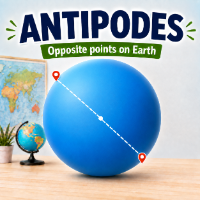
Finds the point on the exact opposite side of Earth from any place, a quick, memorable way to practice latitude, longitude, and thinking on a globe.
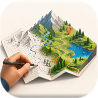
Students sketch maps in 2D or 3D and export them to ArcGIS, turning mental maps into real geographic data.
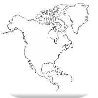
Creates clean black-line outline maps for regional labeling, mental-map practice, and quick formative checks.
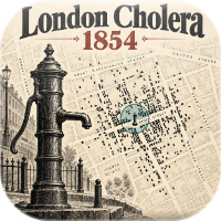
Retraces John Snow's famous map to show how plotting data spatially reveals patterns and solves real problems.
Population & Migration Patterns and Processes
Where people live and why, how populations grow and change, and the forces that push and pull people to move.
- Population distribution & density
- Population pyramids
- Fertility, mortality, natural increase
- Demographic & epidemiological transition
- Malthus & population policies
- Aging populations
- Push/pull factors & Ravenstein
- Forced & voluntary migration
Apps for this unit

Explore pyramids across time and place to read a country's age-sex structure and predict its demographic future.

Students diagnose real countries' DTM and ETM stages from four kinds of evidence, applying the models instead of just memorizing them.

A push/pull simulator built on Ravenstein's laws that lets students test why people move, and where they go.
Also useful here: Spatial Interaction (gravity model and distance decay), Squishy World (population cartograms), and GeoInquiries 2.0 – London Cholera Outbreak 1854 (disease and the epidemiological transition).
Cultural Patterns and Processes
How culture is expressed on the landscape, and how languages, religions, and other cultural traits spread and change as they move.
- Cultural landscapes
- Sense of place & identity
- Relocation, expansion & hierarchical diffusion
- Colonialism, imperialism & globalization
- Diffusion of language & religion
- Acculturation, assimilation, syncretism
Apps for this unit

Students draw how languages, religions, and cultural traits spread, practicing relocation, expansion, and hierarchical diffusion on a real map.
An integrated map dashboard for questioning where languages and religions are found and how their patterns overlap.
A toponymy activity showing how place names record culture, identity, power, and history on the landscape.
Maps the Indigenous peoples of North America to examine cultural landscapes, territoriality, and the effects of colonialism.
Political Patterns and Processes
How states, nations, and boundaries are made and contested, and the forces that hold countries together or pull them apart.
- States, nations & nation-states
- Sovereignty & territoriality
- Boundary types & origins
- Redistricting & gerrymandering
- Unitary vs. federal states
- Devolution
- Centrifugal & centripetal forces
Apps for this unit
Explores borders, boundaries, and barriers so students can classify boundary types and analyze the political processes behind them.
Students try to rig an election by redrawing districts, which makes redistricting and gerrymandering concrete and memorable.
Also useful here: You Claim It. You Name It. and Indigenous North America for territoriality and colonial boundaries, and GeoTetris for political-map recall.
Agriculture & Rural Land-Use Patterns and Processes
Where and how food is produced, how rural settlements are organized, and the economic and environmental consequences of agricultural change.
- Rural settlement & survey patterns
- Agricultural hearths & diffusion
- Agricultural revolutions & the Green Revolution
- Intensive vs. extensive farming
- Von Thünen model
- Global food systems
- Sustainability challenges
Apps for this unit

A von Thünen sandbox where students change conditions and watch the land-use rings respond, building intuition for bid-rent and transport costs.
Compares clustered, dispersed, and linear settlements so students can spot each pattern on a map and explain why it formed.
Cities & Urban Land-Use Patterns and Processes
Why cities grow where they do, how they are arranged inside, and the challenges of building cities that are fair and sustainable.
- Urbanization & site/situation
- World cities & megacities
- Rank-size, primate city & gravity model
- Central place theory
- Burgess, Hoyt, Harris-Ullman & regional models
- Density & land use
- Smart growth & new urbanism
Apps for this unit

A game built on Christaller's central place theory, where students experience range, threshold, and hexagonal market areas firsthand.

Puts the Burgess concentric zone, Hoyt sector, and Harris-Ullman multiple nuclei models side by side so students can compare them and apply them to real cities.
A gravity-model calculator that shows how population and distance shape interaction between places, useful for distance decay, migration, and urban hierarchies.
A planning game where students weigh sprawl against smart growth and see the trade-offs behind urban sustainability.
Industrial & Economic Development Patterns and Processes
How industrialization spread, how development is measured, and the theories that explain why some places grew richer than others.
- Industrial Revolution & diffusion
- Economic sectors
- GDP, GNI, HDI & GII
- Women & economic development
- Rostow, Wallerstein & dependency theory
- Trade & the global economy
- Sustainable development
Apps for this unit

Also useful here: Squishy World (development indicators as cartograms) and The Demographic Transition Game (links development stage to population change).
Review games, current events & study tools
Cross-unit apps for warm-ups, review days, current-event connections, and organizing ideas before the exam.
Games & map practice
Teams decode dispatches written in APHG vocabulary, drop a pin on the world map, and answer a concept question, giving fast, game-based review across all seven units.
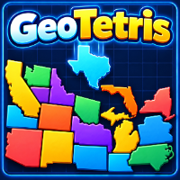
A Tetris-style game using the shapes of states and provinces to sharpen political-map and place-name knowledge.
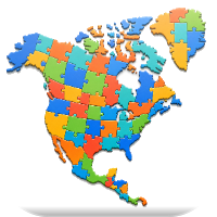
Drag countries into place against the clock to build a solid regional mental map, with a built-in screenshot tool for turning in results.
Seasonal and suitability puzzles that teach students to layer map data and reason spatially, the same logic behind real site-selection decisions.
A tablet-friendly digital coloring atlas for low-stakes regional map practice.
Current events & case studies

A daily-updated map of geography stories for connecting course concepts to current events and gathering real-world examples for FRQs.

Virtual field trips with StoryMaps and VR that bring distant cultural and urban landscapes into the classroom for landscape and source analysis.
Study & organizing tools

No apps match that search. Browse the full app index ↗